About us
Nordic GIS is a geographic information systems (GIS) company focused on developing high-quality data engineering, analysis and solutions.
Our goal is to help you manage, maintain, organise, enrich and optimise your data to make data-driven decisions. We find the most relevant data and integrate it into your databases, performing in-depth analysis and creating insightful visualisations using advanced GIS data management tools.
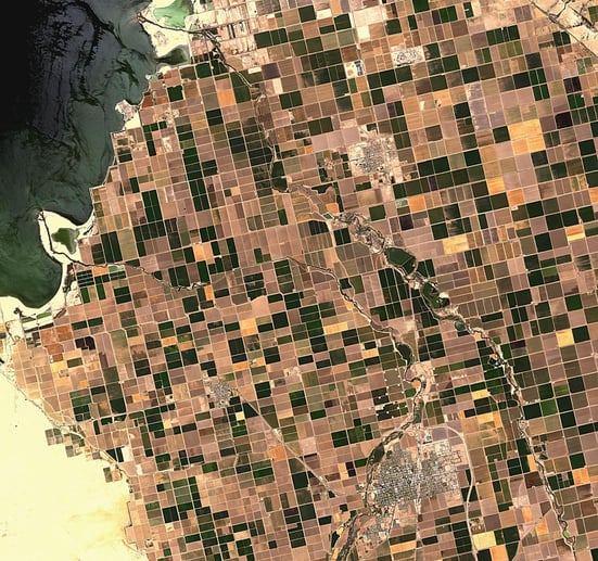
We also offer access to high-quality satellite imagery, from Sentinel-1 to the latest AirBUS and MAXAR satellite data. Working with these resources, we provide the highest quality imagery and analysis quickly and efficiently using state-of-the-art GIS software.
We also specialise in the development of GIS-based web and mobile applications, from simple field data collection tools to sophisticated engineering network management and task allocation systems.
Our team are true GIS enthusiasts for whom the technology is more than a job. We take on every project with great enthusiasm to ensure that the end result meets the highest quality standards and customer expectations.
Data engineering
We specialise in database management, or data engineering: from structuring and optimising data to enriching it with new, relevant data. Our team will make sure that all your data is fully prepared for further analysis and visualisation, enabling you to make more effective decisions based on accurate and complete data.


Data analysis and visualisation
Data in tables and displayed as grey numbers are often difficult to read and understand. One of the things we do is to analyse the data and bring it to life and make it go from being meaningless and grey numbers and indices to being visual and eloquent maps, interactive graphs, charts and whiteboards
Satellite and drone imagery and analysis
If needed, we can arrange drone flights to capture images of objects or areas of interest to you. We also have the ability to commission high-quality satellite imagery. However, our main focus is on the analysis of these images. For this purpose, we have created the Spatial Insights HUB project, aimed at extracting the most valuable data from drone and satellite imagery using machine learning (ML) and artificial intelligence (AI).


GIS-based web and mobile solutions
If you only need a simple web application to display data, or perhaps a whiteboard that is connected to a continuous data stream and has a live data display, or perhaps you need a visual display of data


2025 © Nordic GIS
