Spatial Insight Hub
SATELITE & DRONE IMAGES ANALYSIS
We analyze satellite and drone imagery to extract measurable, decision-ready indicators. Our work includes land cover mapping, change detection, waterlogging identification, erosion assessment, and infrastructure condition analysis. The output is structured data, not just visual interpretation.
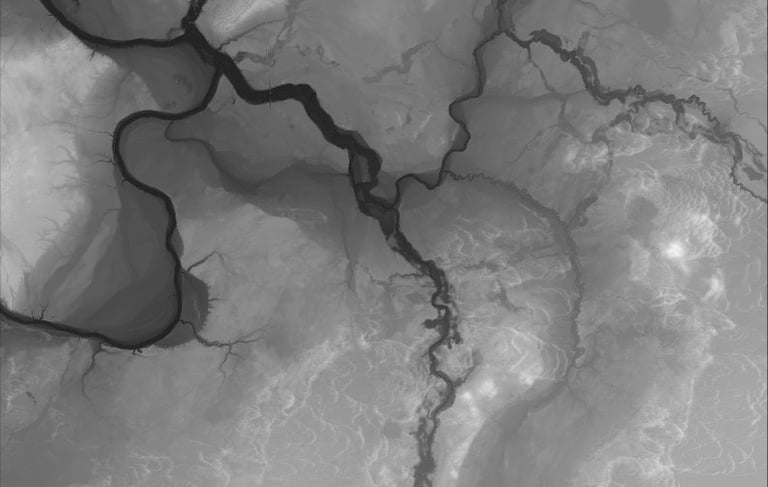
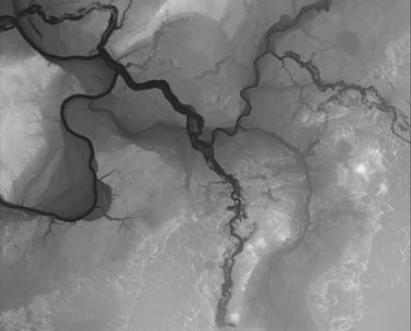
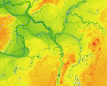
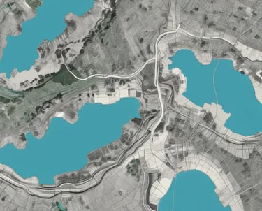
SLOPE AND WATERFLOW ANALYSIS
We model terrain, slope gradients, and surface runoff pathways. Basin retention potential, flow concentration zones, and risk areas are assessed using DEM-based hydrological algorithms. The results support planning, design, and risk evaluation.
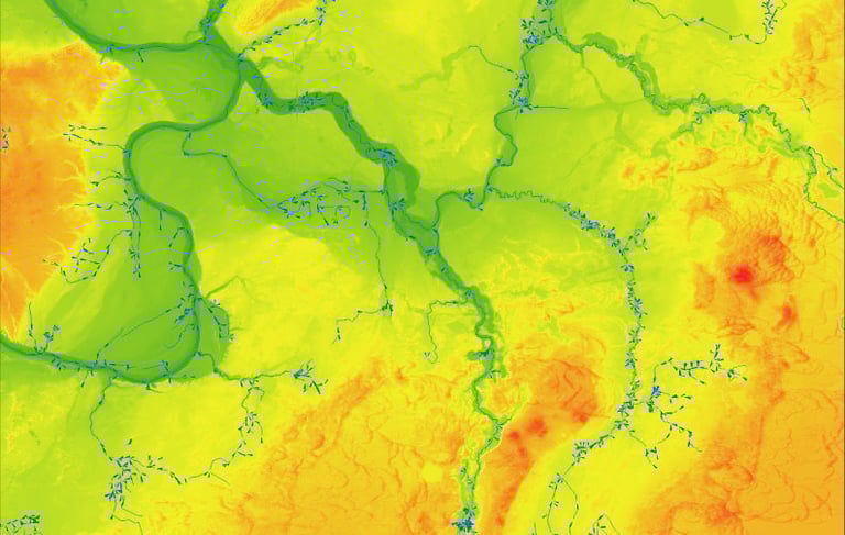
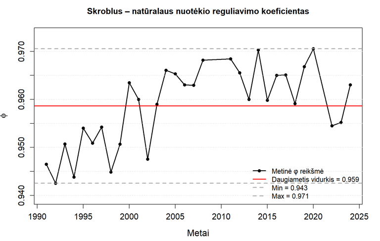
DATA EXTRACTION, CALCULATIONS & VISUALISATION
We extract quantitative indicators from spatial datasets and perform advanced raster and vector-based calculations. Large datasets are processed efficiently and systematically. Results are delivered as maps, charts, and structured metrics for decision-making.
AI-BASED IMAGE INTERPRETATION
We apply artificial intelligence methods for object detection and change analysis in satellite imagery. Automated classification, segmentation, and anomaly detection enable scalable and consistent processing. This approach significantly reduces manual workload while increasing analytical depth.
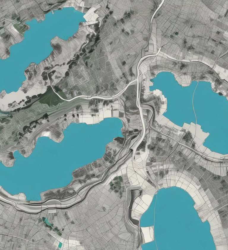
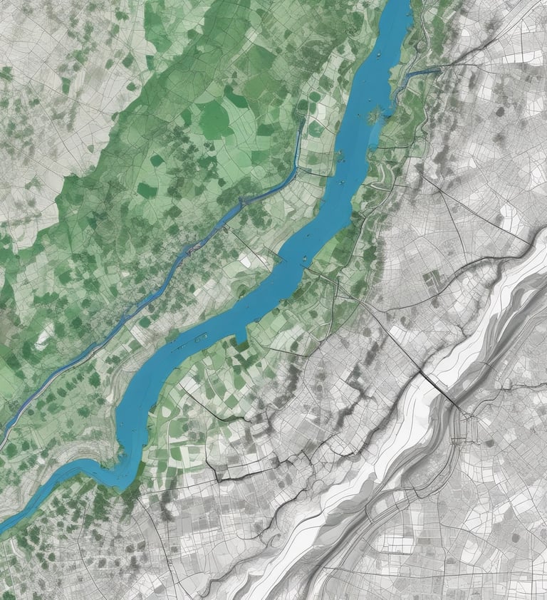
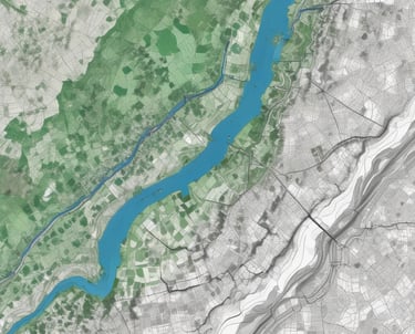
FLOOD RISK & RETENTION MODELLING
We assess flood risk and landscape water retention capacity under different scenarios. Terrain, soil, land use, and precipitation data are integrated into hydrological models. The results support infrastructure design and spatial planning.
SPATIAL DECISION SUPPORT
Spatial analysis is used to support evidence-based decision-making in planning, investment assessment, and risk evaluation. We deliver not only maps, but structured analytical conclusions.


2026 © Nordic GIS