
GIS Solutions for Environmental Protection
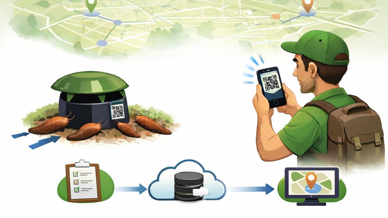


Slug Trap Maintenance System “ARION-GIS”
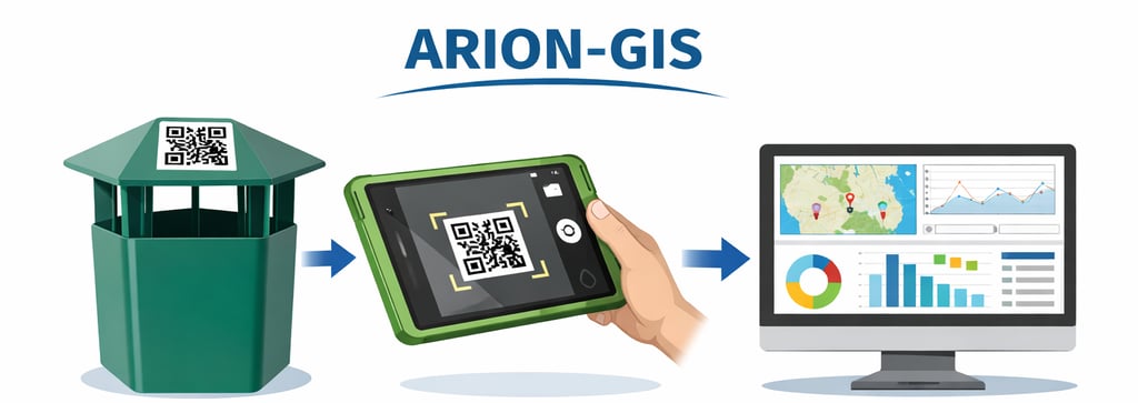
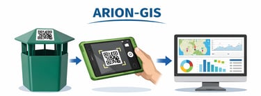
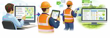
This is a GIS-based digital platform designed for the centralized management of slug control measures. The system allows users to register traps on a map, record inspections in the field using a mobile device, and store information such as inspection dates, bait replenishment, the number of collected individuals, trap condition, and other relevant data. The collected data is later used for analysis, activity zone identification, reporting, and further action planning. The solution is flexible and can be adapted not only for trap maintenance, but also for other environmental monitoring and control tasks.
register traps on a map and manage the trap network;
quickly record inspections using a mobile device;
mark bait replenishment, fill level, trap condition, and other relevant data;
analyze trap efficiency and slug activity zones;
monitor the situation through summaries and dashboard-type reports;
collect data for long-term evaluation of control measures;
adapt the system for other monitoring or environmental maintenance tasks.
What does the system allow?
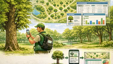
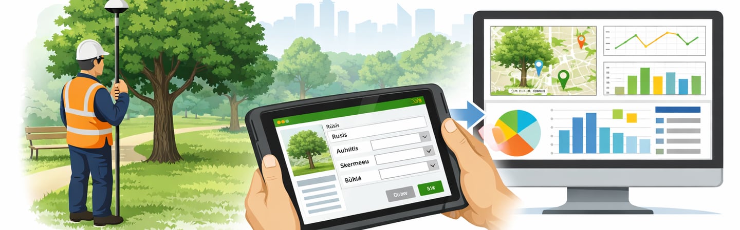
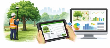
Tree Inventory and Monitoring System
This is a GIS-based digital platform designed for the centralized inventory, monitoring, and management of tree-related data. The system allows field workers to accurately record tree locations, enter key information about each tree, and store all data in a unified database. Information collected on a mobile device can later be used for analysis, summaries, reports, and further green space maintenance planning. The solution is suitable for tree inventories in city districts, parks, squares, and other green areas.
What does the system allow?
register trees on a map and store their data in one place;
accurately determine tree locations using a mobile device and GNSS measurements;
enter information about tree species, dimensions, condition, and other important indicators;
record photos, notes, and maintenance recommendations;
analyze data by area, condition, species, or other criteria;
view information in summaries, dashboard-type reports, and on the map;
prepare clear reports on the trees in a district, park, or other area;
plan further maintenance, management, or inventory work based on collected data.
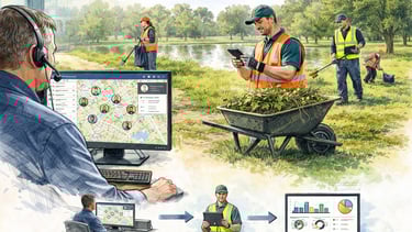
Field Task Management System
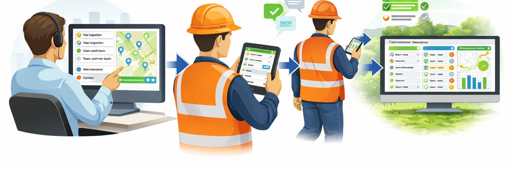
This is a GIS-based digital platform designed for planning field work, assigning tasks, and monitoring their execution. The system allows tasks to be centrally assigned to field workers, their progress to be tracked, and data on completed work to be stored in a single environment. Using a mobile device, workers can receive assigned tasks, update their status, and submit completion details, photos, or other required information directly from the field. The collected information is later used for summaries, dashboard-type reports, and further work planning.
What does the system allow?
assign tasks to field workers by location and territory;
see which tasks are planned, in progress, or completed;
allow workers to receive tasks on a mobile device and submit completion details on site;
record work progress, status, comments, photos, and other relevant data;
monitor completed work through dashboard-type summaries;
analyze task distribution, work pace, and territorial workload;
store work history and use it for reporting and future planning;
adapt the system for various environmental maintenance, inventory, or control tasks.
2026 © Nordic GIS